Katugastota

A practical riverside commuter suburb just north of Kandy where schools, shopping and a safe community make for a steady family market.

Updated June 17, 202611 min read

About Katugastota

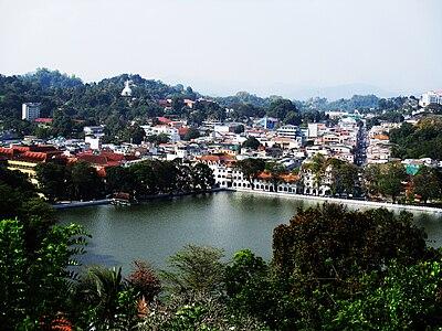
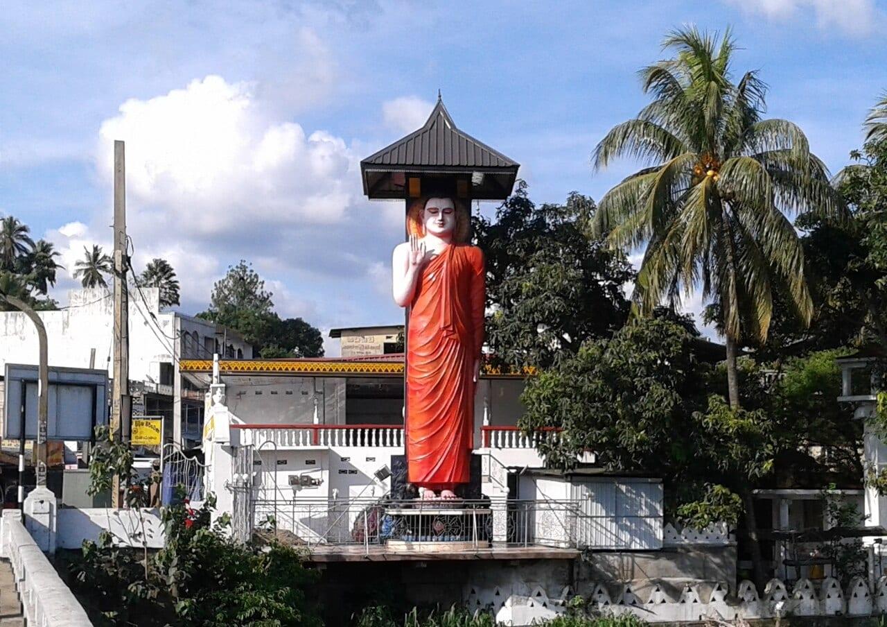
Katugastota lies about 4 km north of Kandy on the A9, marked by the historic Katugastota Bridge spanning the Mahaweli. Over time it has become one of the city's principal residential commuter belts, near enough for the daily journey into Kandy, far enough to escape its worst congestion. Daily life is well served by the Arpico Supercentre, the town market and a strong line-up of national schools. The community is solidly middle-class and settled, with a mix of Buddhist and Muslim residents and a streetscape of family homes, small businesses and riverfront. It scores highly on safety and environment, matching its reputation as a quiet, secure place to raise a family. For investors it is a buy-and-hold residential market rather than a speculative one. Land sits around LKR 360,000-400,000/perch and family houses from the low tens of millions, with modest 4-5% gross yields. The case rests on steady appreciation plus rent, tempered by leasehold-only foreign access, thin top-end liquidity and the ongoing recovery.

Location

Katugastota in Kandy, Central Province, Sri Lanka

Showing this map loads it from Google Maps, which sets their own cookies on your device.

Unlock the full neighbourhood guide. It's free.

You've read the preview. 4 more sections are open to Explorer members, instantly, with just an email.

No spam, no password, unsubscribe any time.

Already a member? Sign in

  • Lifestyle scores
  • Amenities and places
  • Community
  • Investment and pricing

Figures are indicative and subject to change. Regulations, taxes and market conditions vary by jurisdiction. Do your own due diligence and seek independent legal and financial advice.
All neighbourhoods